At a glance:
Historical traces in fields, forests and gardens
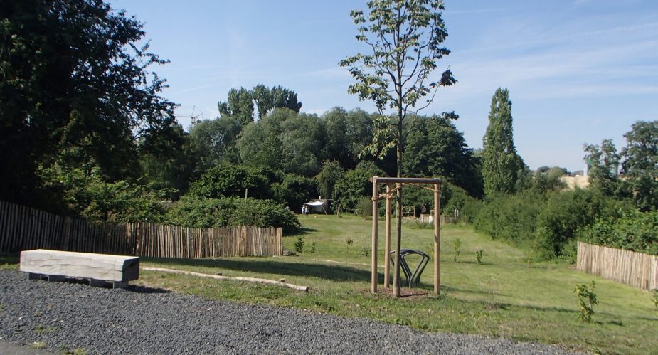
The forest in the background, the city of Frankfurt am Main still in view – here are the foothills of the Taunus. Southeast-facing slopes, sparkling water, fertile soils – these are the natural conditions of this urban landscape. An open agricultural landscape, expansive forests, idyllic meadow valleys, a romantic garden landscape – this is the tour.
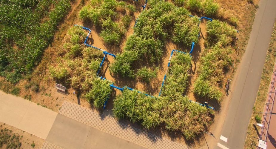
The terrain gradually rising between the city centre of Frankfurt and the wooded heights, the tour offers a cross-section of the Taunus foothills. In the lower slopes, the fertile soils were cultivated from early times. Even today, they are still extensively used for agriculture, because the fundamental importance of agriculture for our nutrition has not changed over time. As part of the Agrar-Kultur-Achse, a cooperation between the Regionalpark and the local farmers, you can, for example, gain an insight into the complexity of the cultivation and further processing of the maize plant near the Bahnhof Weißkirchen Ost train station.
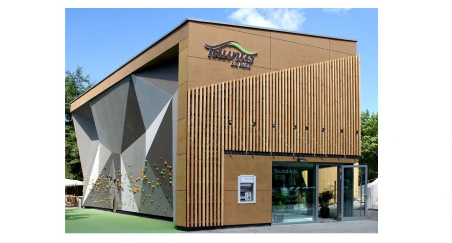
In this open agricultural landscape, the characteristic silhouette of Frankfurt is always visible in the distance. But when you reach the Taunus beyond Oberursel, you soon leave the urban world completely behind you. The small-structured cultural landscape gradually merges into the woods, which also show historical traces of use. For example, old transport routes for charcoal and ores are visible as deep trenches along the roadside. The Taunus Information Centre also sparks our curiosity to further explore the natural environment and offers a welcome opportunity for a break.
The transitions from the forest to the open landscape are extremely varied due to the hillside location facing southeast. In addition, the lush water supply in the Taunus Mountains is noticeable on the adjacent slopes – several mills were operated on the Urselbach and the sparkling mineral springs turned Bad Homburg into a spa town. However, the abundance of water posed a problem for one of the curiosities in this area. In the 1830s, brown coal was extracted underground at the Gnade Gottes in Bommersheim. Because of the water masses entering the tunnels, which were up to 30 m deep, the coal mining had to be discontinued quite soon, after about 10 years.
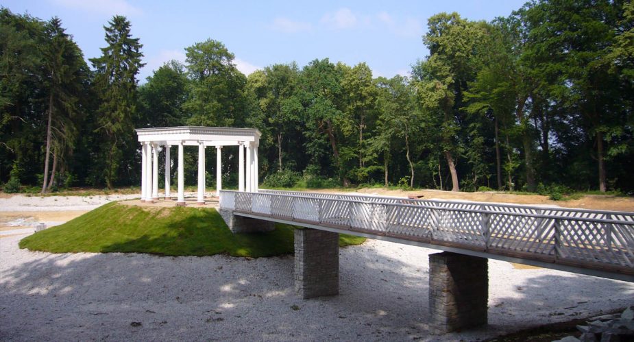
A highlight of the tour is the Landgraves’ Garden Landscape in Bad Homburg. From 1770 and 1840, an artistic garden ensemble was created between the Taunus and the Homburg Castle along the straight Elisabethenschneise and the Tannenwaldallee. In the transition area to the Taunus, the Große Tannenwald encompasses several parks in the style of English landscape gardens. A special pearl in this work of art is the Kleiner Tannenwald park further down the slope. You can stroll around a beautiful lake with a small bridge leading to a colonnaded temple. Somewhat hidden behind a hill, you will also find a historic ice cellar. This was restored with the support of the Regionalpark; a video presentation at the entrance provides an impression of the interior.
The tour leaves Bad Homburg on a section of the Hölderlinpfad. Under the motto ”In the near distance“, this project follows the path of the poet Hölderlin, who frequently hiked from Homburg to visit his secret mistress in Frankfurt. Our tour in the foothills of the Taunus also makes the distance to Frankfurt clear – accessible, yet far away.
Directions
1. TOUR START is at the train station Oberursel-Stierstadt: to the west of the tracks, go straight ahead towards Oberursel. After 1 km, the route curves to the left and then to the right over a bridge. Once there, turn left into the Wiesenaustraße and immediately left again into the …
2. Aumühlenstraße: The sign SCHWARZE PFEILSPITZE ◄ with the black arrow tip appears. This leads you to the Hohe Mark, the first kilometres gently ascending at the Urselbach. To cross the Oberhöchstädter Straße, turn left towards the traffic lights and into the Maasgrundweg.
3. IN THE MIDDLE OF THE FOREST, the arrow will lead you straight ahead onto a path: If you have an offroad bike, follow it! Otherwise, turn left and ride 300 m uphill to the first crossroads: the hiking sign Grünes Eichenblatt is visible, follow it uphill to the right. Continue diagonally to the right and you will reach …
4. … the WALDFRIEDHOF: Turn right here and immediately left following the Grüner Eichenblatt (Green Oak Leaf) and the ◄ arrow under the B455 to the Klinik Hohe Mark (hospital). The Alfred-Lechler-Straße takes you towards the Taunus Information Centre (TIZ).
5. Behind the TIZ, follow the cycling signs and take a left onto a bridge: the indication HIRSCHGARTEN is clear.
6. The path ends in a TURNING POINT: The Hirschgarten (deer garden) is on the right. Here, you will already be on the Tannenallee, which leads to Bad Homburg.
7. 700 m after the B456, turn right into the KREUZALLEE. Follow the cycling signs in the direction of Oberursel to Kleiner Tannenwald: keep to the right, then follow the cycling path signs and go down the Platzenberg. At the end, turn right and after 200 m, turn left into Niederstedter Weg. After the bridge, go under the road and turn left to Kronenhof.
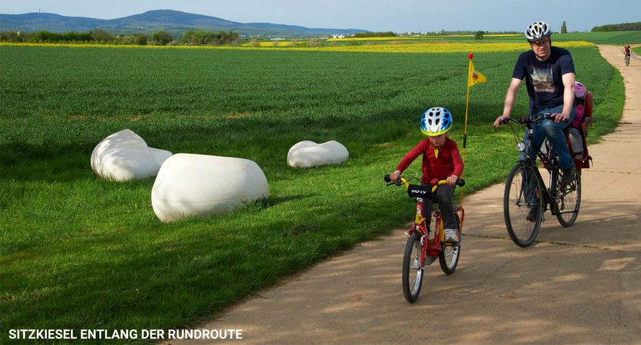
8. From the Kronenhof, follow the HÖLDERLINPFAD to the left until it joins the REGIONALPARK RUNDROUTE: This takes you to the right via a border post, the Hubertuswäldchen and the Agrar-Kultur-Achse to the Krebsmühle. From there, continue on the Rundroute to the Historischen Wegkreuz near Weißkirchen.
9. At the HISTORICAL CROSS, turn right into the village onto the Urselbachstraße and follow the cycling path sign to the S-Bahn in Stierstadt.
Order Map
Food & Drink
A – Hirschgarten
hirschgartenbadhomburg.de
B – Das Waldtraut
das-waldtraut.de
C — Bad Homburger Brauhaus
badhomburgerbrauhaus.de


